
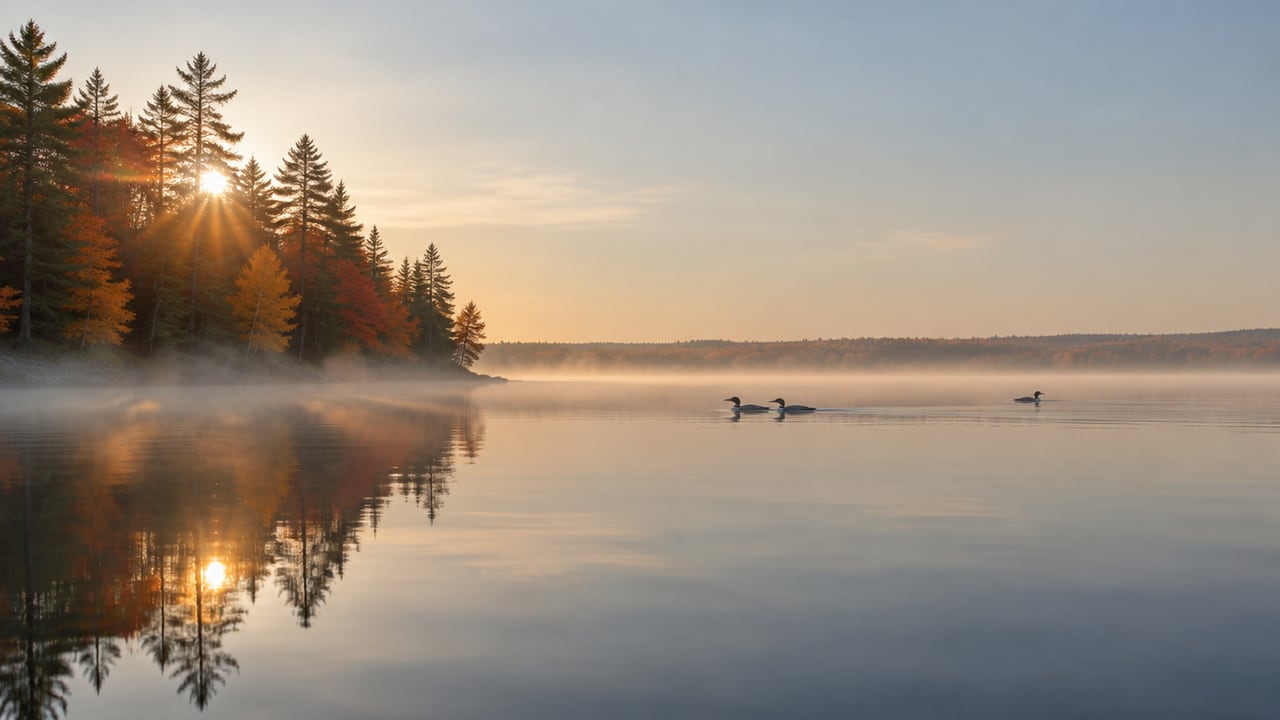
First light · the Adirondacks
§ From the Editor's Desk · Fall 2026The Turn is on.
The Turn is on.
Chase peak color
across the Park.
Our Fall field guide maps the color week-by-week and times the drives; the live Foliage Tracker reads it from orbit — refreshed every couple of days across six million acres.
The AlmanacFor the Week of Oct 18, MMXXVI
Sun7:14a — 6:06p10h 51m of daylight
FoliagePeak ColorAdirondack belt at peak
In SeasonFall Trout & BassCool-water bite peaks
On TrailFoliage HikingPeak color, daylight shrinking
§ Field Guides
Three guides for the season.
 Vol. I · No. 001Fall in the Adirondacks.Foliage windows by elevation and region, the fall hiking window, apple picking and cider season, Oktoberfest weekends, and where to be when the colors peak.Read the Guide→
 Vol. I · No. 002Top Scenic Drives.The Olympic Byway, the Roosevelt-Marcy Highway, the Adirondack Trail — eight named state byways and twelve regional drives, with the overlooks, roadside attractions, and foliage windows that make them.Read the Guide→
 Vol. I · No. 003Paddling & Kayaking the Adirondacks.The largest wilderness canoe area in the Northeast, the Saranac Chain, the Fulton Chain, the Raquette River, the Northern Forest Canoe Trail, and the 90-Miler — plus a sortable atlas of major paddleable waters.Read the Guide→
§ The iPhone App · Now in Beta
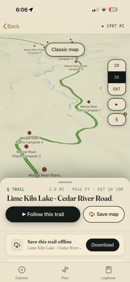
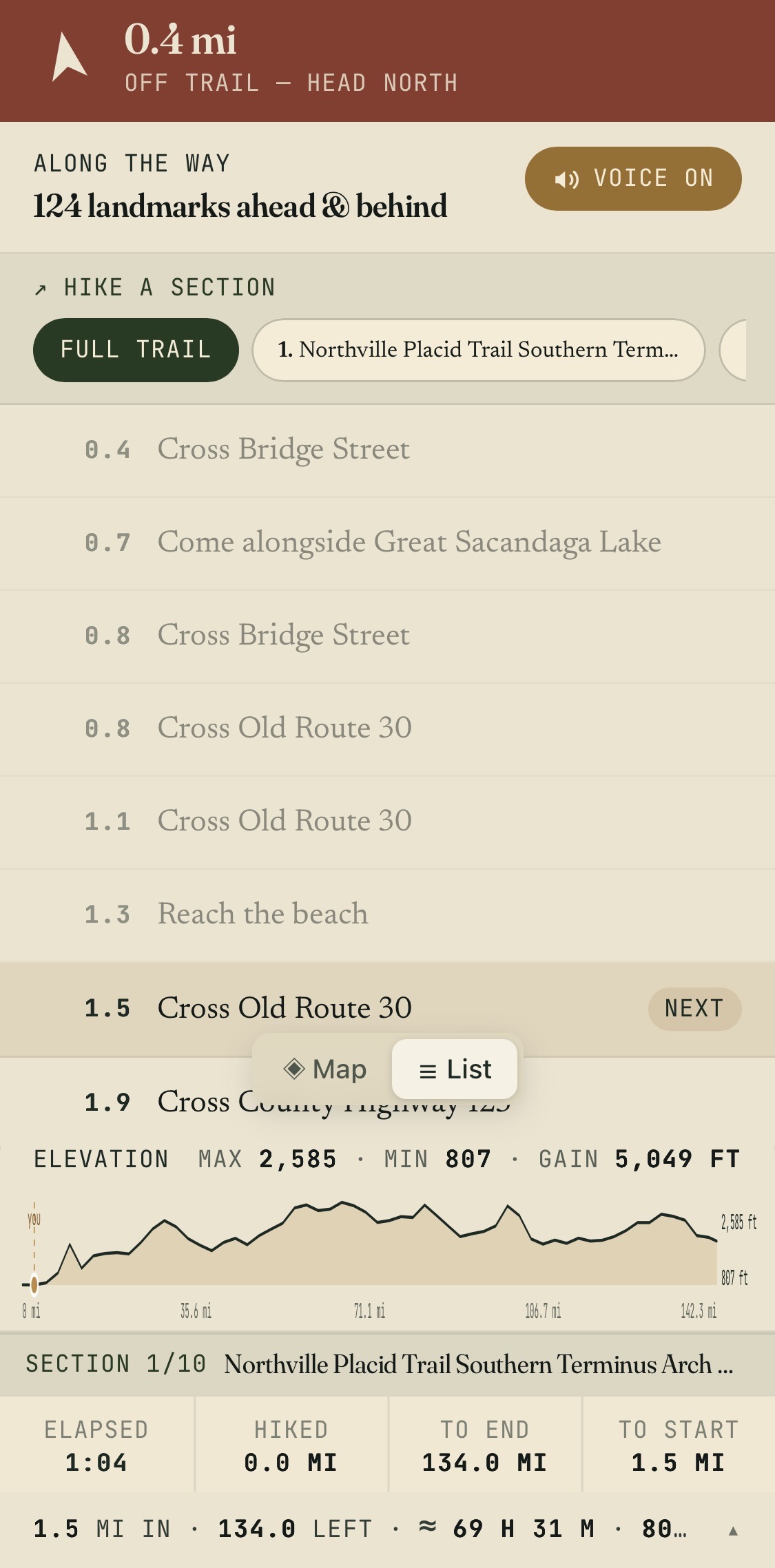
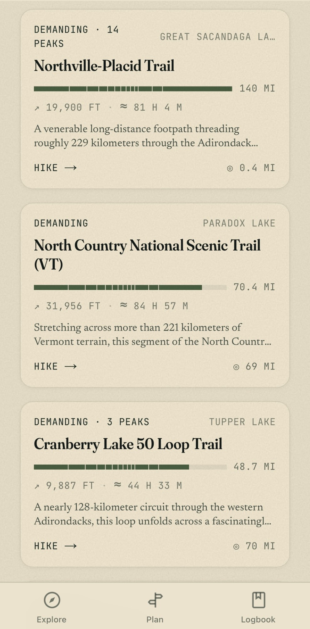
The Park, in your pocket.
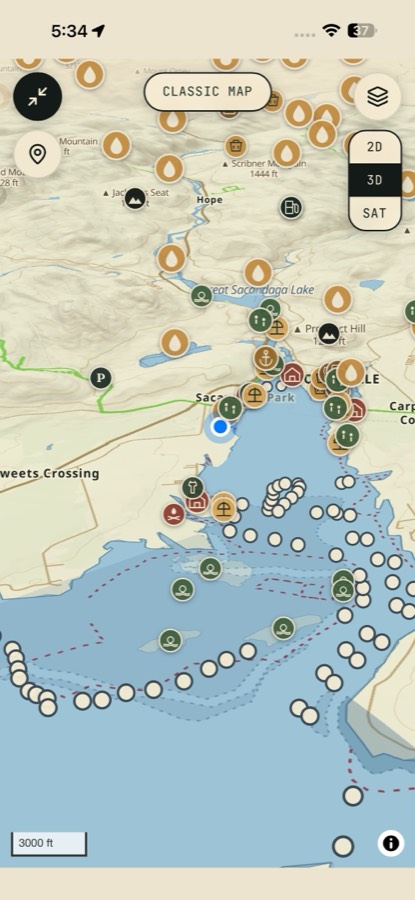
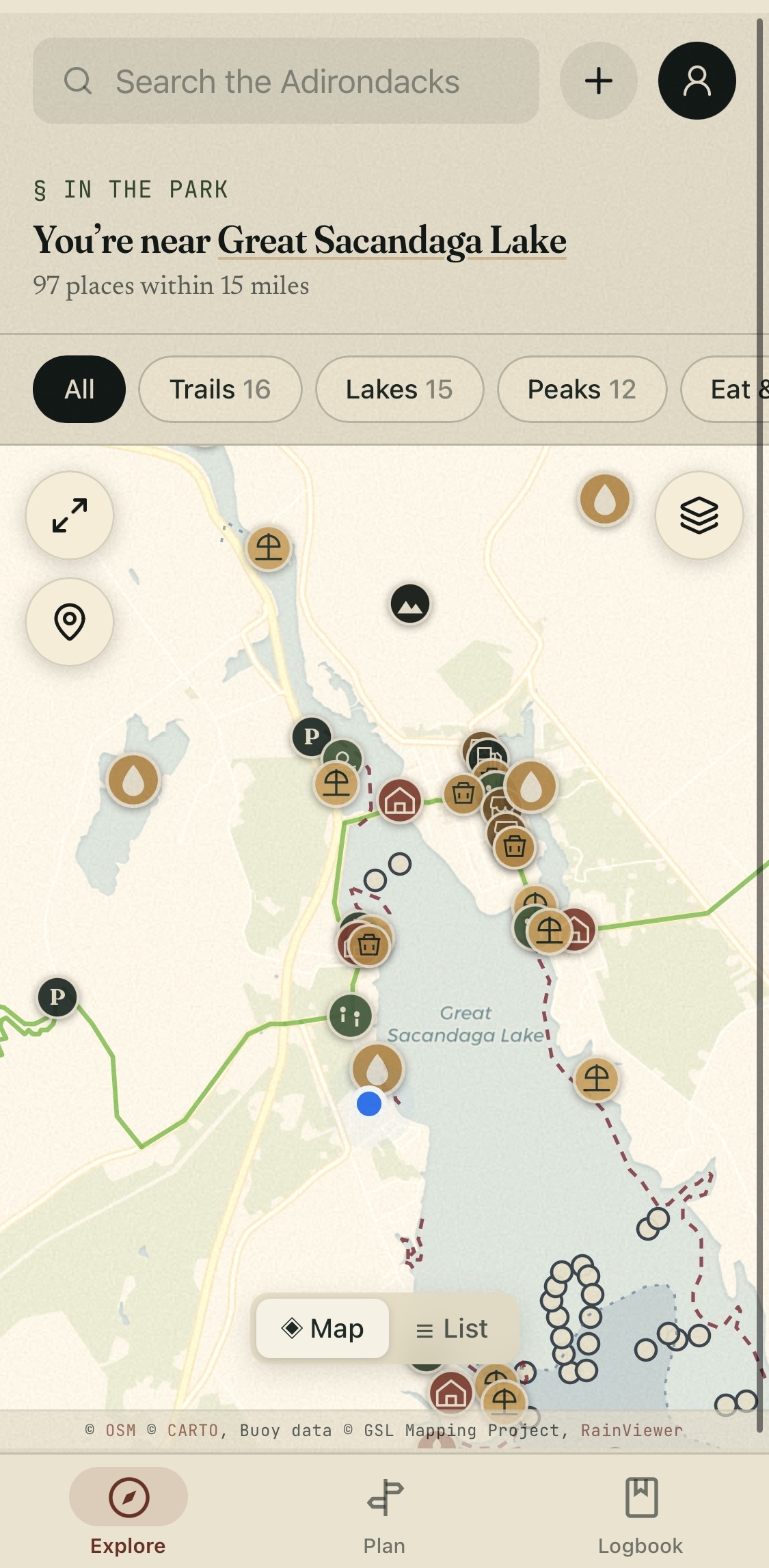
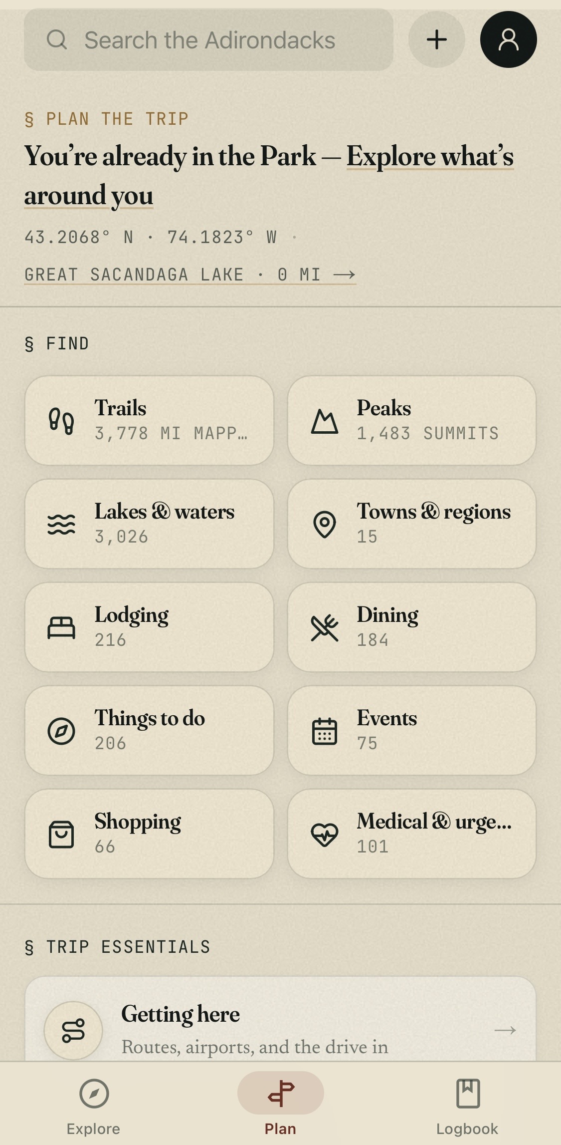
Offline maps, voice directions, live DEC conditions — every trail, peak, lake and lean-to, on the trail with you.
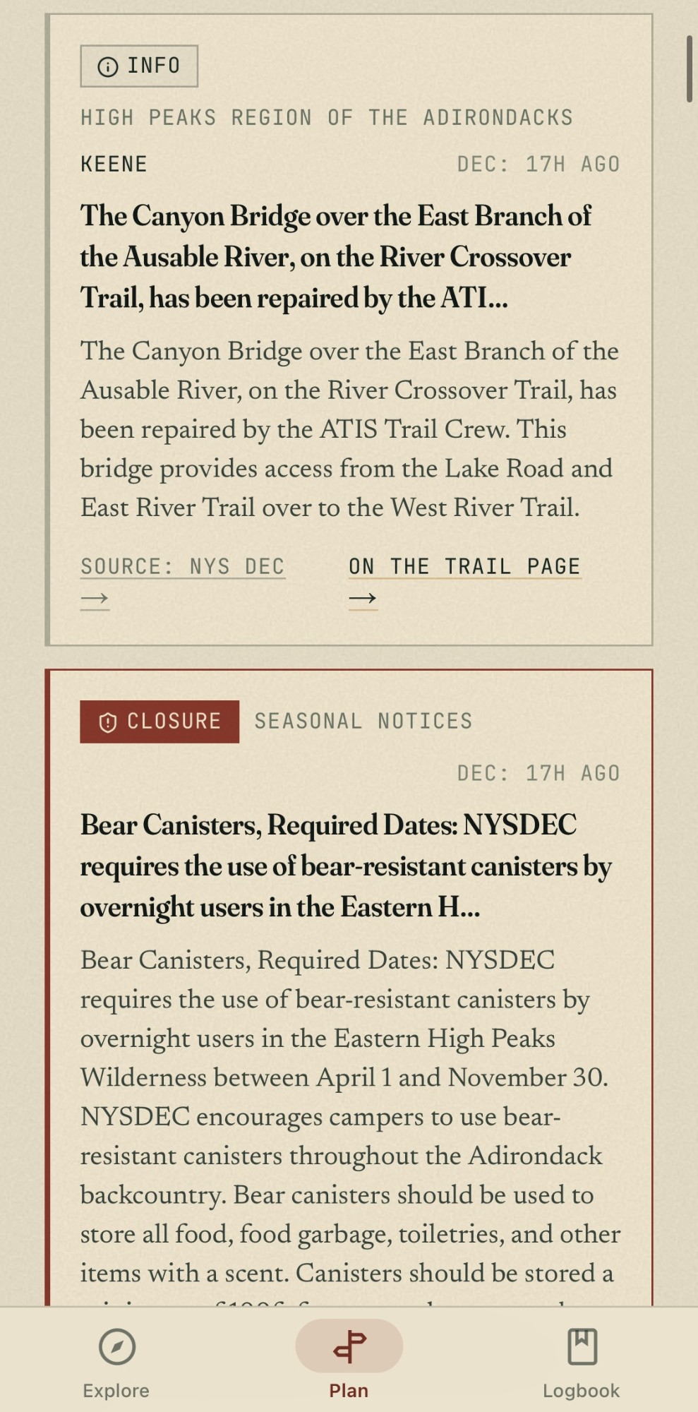
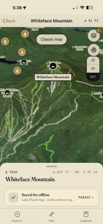
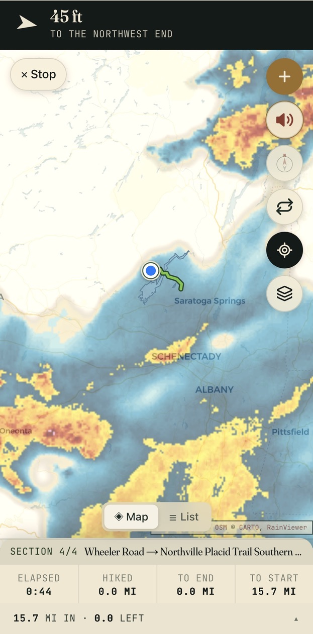
§ In the field→Turn-by-turn route guidance, spoken aloud→Live weather & radar, layered on your trail→Portage routes for the canoe country→Trailhead parking, mapped and rated→Every lean-to in the Park, catalogued→Live DEC advisories before you commit→3D terrain, and it all works offline
§ Editor’s Picks
Three for the table, three for the bed, three for the day.
Hand-curated picks, each with the reasoning. No paid placement, ever.
§ No. I Dartbrook LodgeVerifiedCabin-style lodging on Route 9N in Keene.
 Hotel SaranacVerifiedA historic boutique resort, on the National Register since 1927.
 Mirror Lake Inn Resort and SpaVerifiedLakefront resort and spa on Mirror Lake.
Where to Stay.
Dartbrook LodgeVerifiedCabin-style lodging on Route 9N in Keene.Hotel SaranacVerifiedA historic boutique resort, on the National Register since 1927.Mirror Lake Inn Resort and SpaVerifiedLakefront resort and spa on Mirror Lake.


§ On the Calendar
All Events (87)→What’s coming up.

§ The Reader of Record
Open the Register.
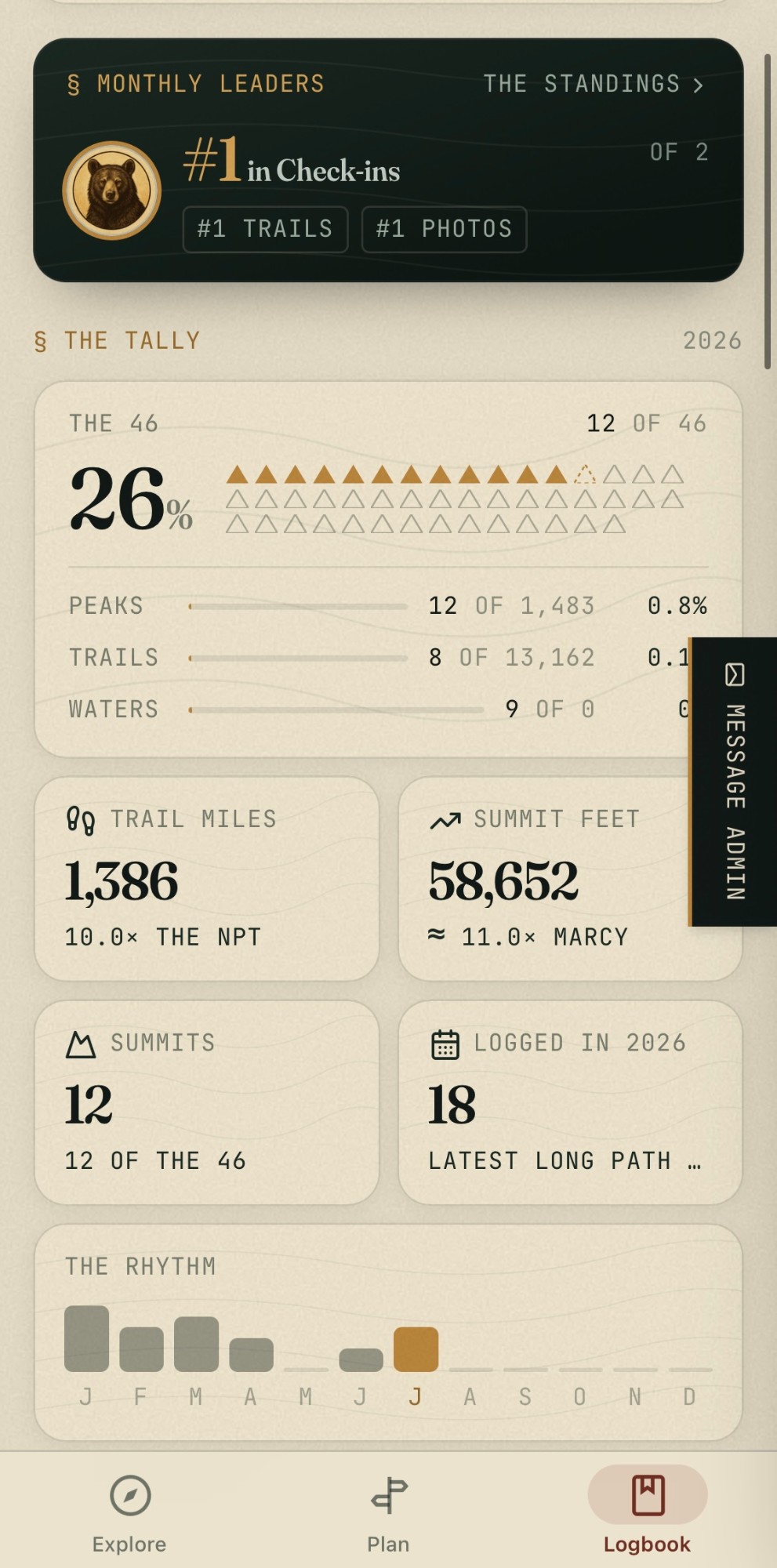
Track your 46. Catalogue your paddles. File field notes from places you know. Every entry compounds — your record, contributed back to the catalogue. Free, and always will be.
Become a Reader of Record→§ The Register · Eight Chapters
The proprietor directory.
Every business inside the Blue Line, organized by chapter. Free listings, paid tiers, verified seals.
§ Recently Filed · From the Reader of Record
Signs of life from the catalogue.
4 days agoA reader contributed a photo — from the Adirondacks.Filed